

A Scalable Platform for Observing and Predicting Biodiversity Based on Novel Community Sensors and Artificial Intelligence
“You only treasure what you measure.”
The loss of biological diversity is one of the greatest challenges of our time. What is discussed globally affects Bavaria quite specifically: species are disappearing, habitats are changing, and climatic extremes are increasing. Yet, although biodiversity enjoys high political priority, we often lack a precise, comprehensive picture of its current state and dynamics.
This is precisely where BaySenseAI comes in. The project combines state-of-the-art technologies from earth observation, biodiversity research, and artificial intelligence into a shared vision: a scalable, AI-based platform that not only documents biodiversity but can also provide forecasts regarding its transformation.
At the core are so-called foundation models – powerful AI models capable of integrating multimodal data sources. Satellite imagery, climate time-series, terrain recordings, and biodiversity surveys are analyzed together to precisely predict local species compositions.
The platform is being developed and tested in the Berchtesgaden National Park – a region of exceptional ecological diversity. In the long term, its application is planned for the whole of Bavaria. BaySenseAI thus closes a central monitoring gap and establishes the foundation for data-driven, future-proof nature conservation strategies.
Background
The global decline in biodiversity has long been felt in Bavaria as well. Species react sensitively to climate change, land-use changes, and human interventions. However, effective conservation measures require reliable information: Where are species communities changing? Which habitats are particularly affected? And how are rare or difficult-to-detect species developing?
Until now, many answers have relied on laborious field work – precise, but time-consuming and costly. Concurrently, technologies are available today that were unthinkable just a few years ago.
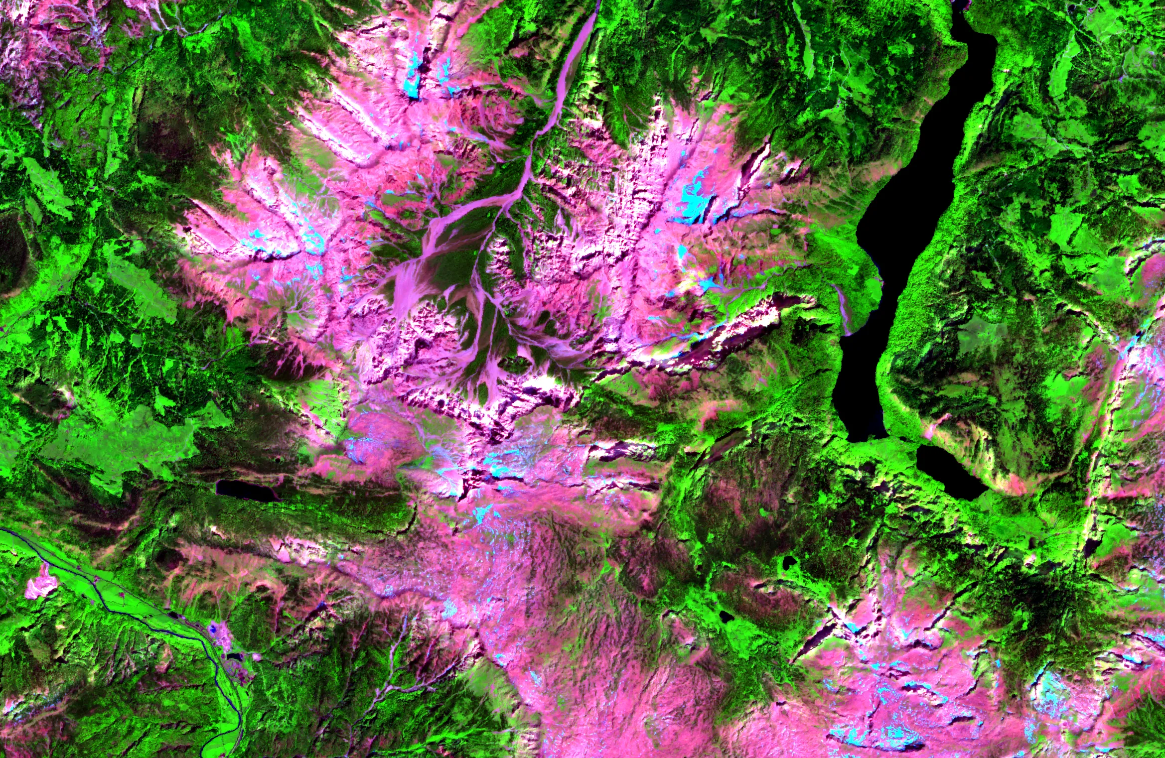
BaySenseAI capitalizes on this technological turning point. State-of-the-art methods of biodiversity monitoring – such as audio recorders to capture bird and insect vocalizations, camera traps for mammals, or DNA metabarcoding to analyze diversity at the genetic level – are combined with earth observation data. Satellites deliver continuous information on vegetation status, temperature, or moisture, supplemented by LiDAR and hyperspectral airborne surveys that capture the structure of habitats in three dimensions.
This diverse data is brought together using artificial intelligence. Foundation models can process images, time-series, and text information simultaneously – and derive ecological patterns from them. This creates, for the first time, the possibility to map biodiversity changes on a large scale, systematically and scalably.
Methods and Goals
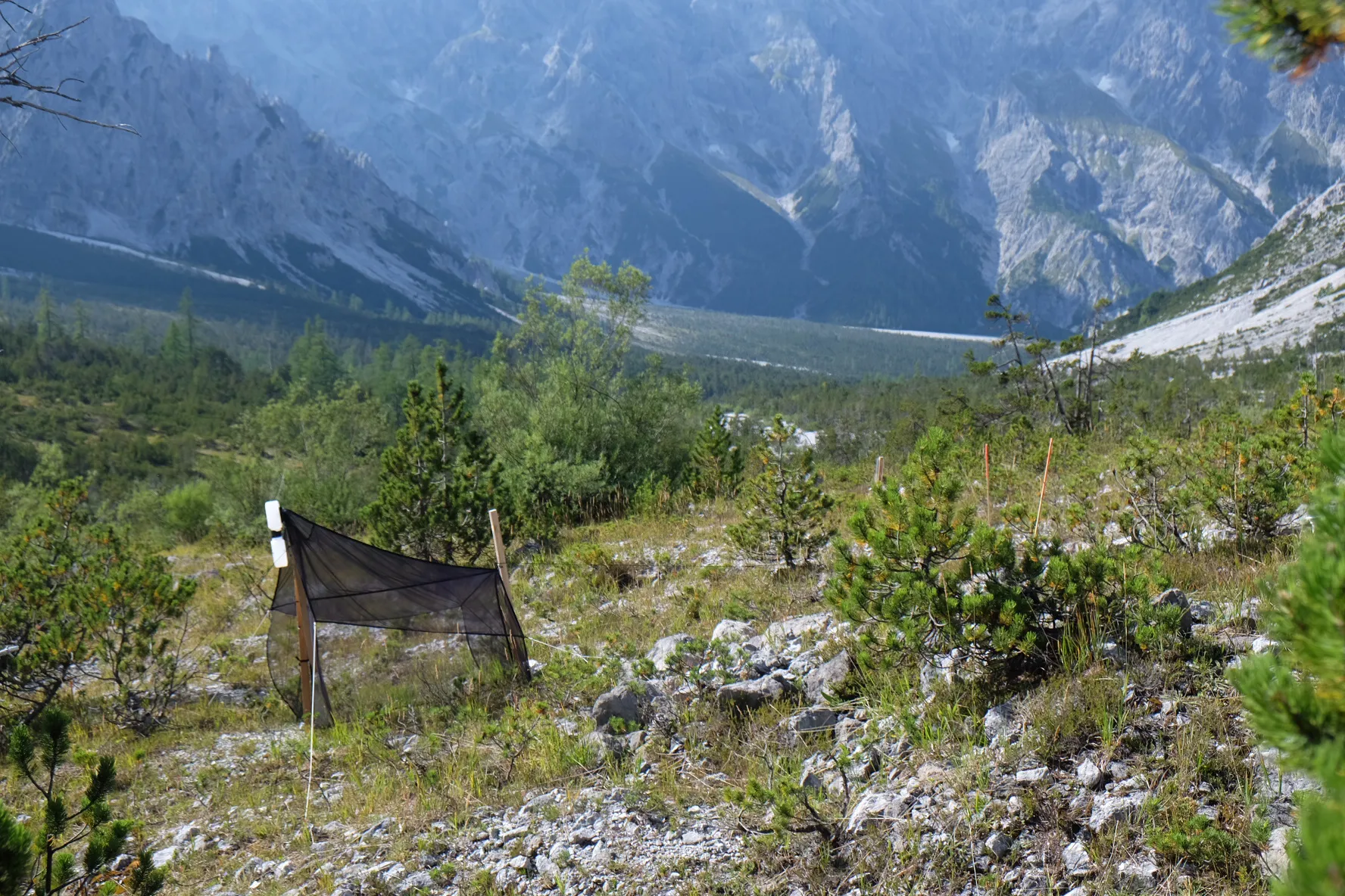
The development of the platform begins in a highly indicative model region: the Berchtesgaden National Park. Between alpine peaks, forests, and valley landscapes, a distinct ecological gradient extends here – a natural “stress test” for the model. True to the motto: if it works in Berchtesgaden, it works anywhere.
The implementation takes place in three closely intertwined steps:
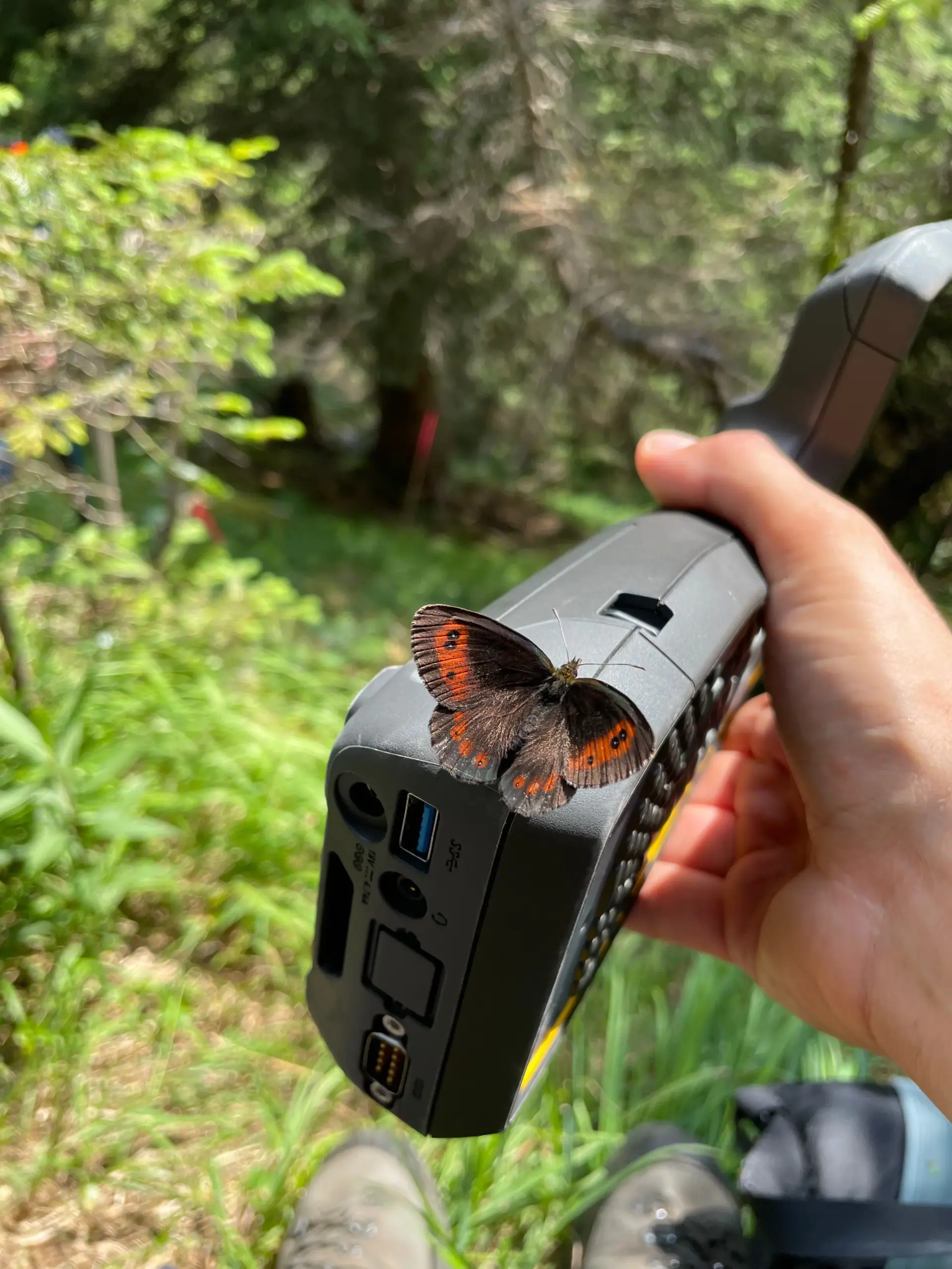
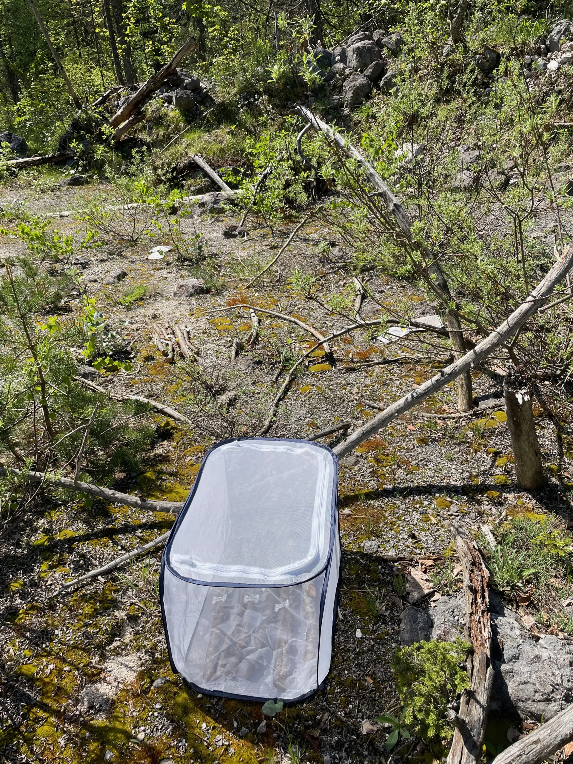
- Collection of high-resolution biodiversity data: Species and species communities are recorded on over 200 sample plots using state-of-the-art in-situ sensors.
- Integration of diverse earth observation data: Satellite and airborne systems provide complementary environmental information, which is processed spatially and temporally.
- Linking via AI-powered foundation models: Both data streams are integrated into a shared model.
A particular added value lies in the ability of foundation models to independently recognize ecological relationships. Species are not viewed in isolation, but as part of a community. If the model identifies a species with high certainty, it can deduce that certain accompanying species are likely present as well. The model thus operates at the level of entire species communities – a paradigm shift compared to traditional, single-species-based approaches.
The long-term goal is scaling to the whole of Bavaria. In this way, comprehensive, locally differentiated biodiversity predictions as well as robust statements on changes in all Bavarian ecosystems shall become possible.
Tangible Benefits for the Free State of Bavaria
BaySenseAI creates an innovative platform for biodiversity monitoring in the Free State. The predictions derived from it open up diverse possibilities for application:
- Support in the designation and prioritisation of protected areas
- Baseline data for regional planning processes
- Early identification of sensitive or threatened habitats
- Assessment of climate-driven changes
Furthermore, the project connects practical research in the Berchtesgaden National Park with top-tier university research. Bavaria is thus positioning itself as a pioneer for AI-supported biodiversity analyses in Europe.
Potential Synergies Within bayklif2
BaySenseAI works closely with the Berchtesgaden National Park. The data collected there will be made available promptly to other research projects, thereby strengthening the scientific network in Bavaria.
The methods developed within the project are modularly structured and expandable in the long term. They can be transferred to other regions, additional species groups, or new sensor technologies.
Thus, what is being created is not just a platform for today’s questions, but a foundation for the biodiversity research of tomorrow. BaySenseAI tells a story of technological innovation, interdisciplinary collaboration, and the shared goal of making Bavaria’s biological diversity visible, measurable, and thereby protectable.
The team of BaySenseAI
Principal Investigator

Prof. Dr. Florian Hartig
Universität Regensburg
Theoretical Ecology and Ecological Data Science

Principal Investigator

Prof. Dr. Rupert Seidl
Technische Universität München
Ökosystemdynamik und Waldmanagement in Gebirgslandschaften
Principal Investigator

Prof. Dr. Cornelius Senf
Technische Universität München
Earth Observation for Ecosystem Management
Publikationen
- Calibration, Sensitivity and Uncertainty Analysis of Complex Ecological Models—A ReviewEcology Letters 2026; 29: e70375, John Wiley & Sons Ltd.